Flight paths and sky videos help solve contrail puzzles

Engineer advances ways to use data to improve contrail forecasts and guide more sustainable flight paths.

November 03, 2026 in Innovation

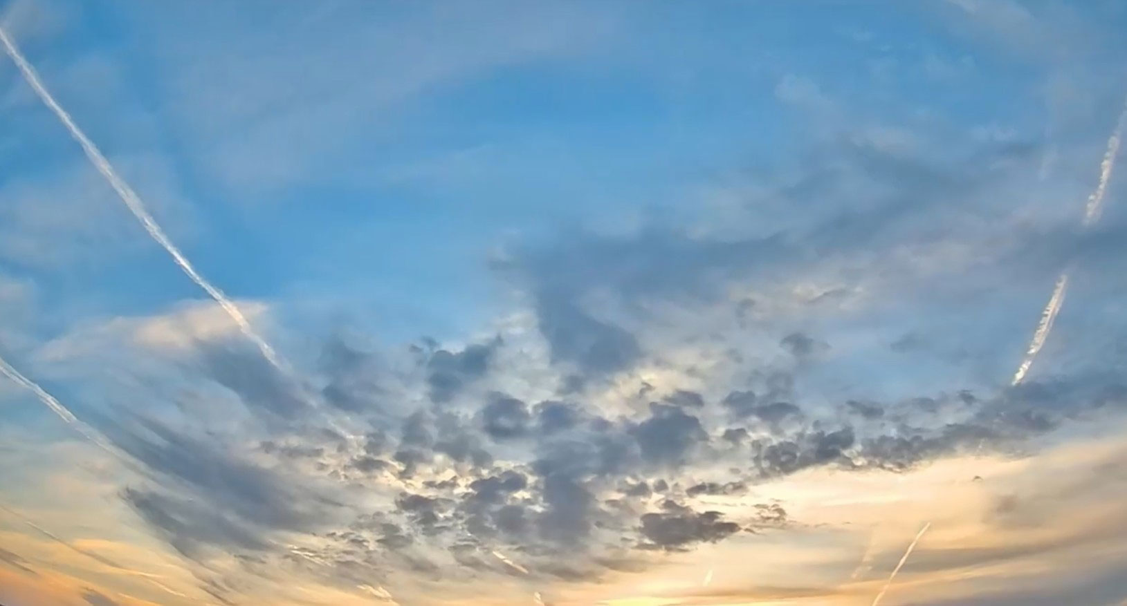
color image of contrails in the sky Contrails are the streaks airplanes sometimes leave behind in the sky that can trap heat in the atmosphere, contributing to climate impacts beyond carbon emissions.

For Emily Dallara and the Project Starry Skies team, solving the puzzle of contrail formation means a path to more sustainable aviation.

Contrails are the streaks airplanes sometimes leave behind in the sky that can trap heat in the atmosphere, contributing to climate impacts beyond carbon emissions. “If we know where contrails will form and persist, flights can adjust altitude just a bit to avoid those areas,” Dallara said.

She credits her teammates and their combined expertise for driving the work forward. “This small change can have a big impact on reducing aviation’s environmental footprint.”

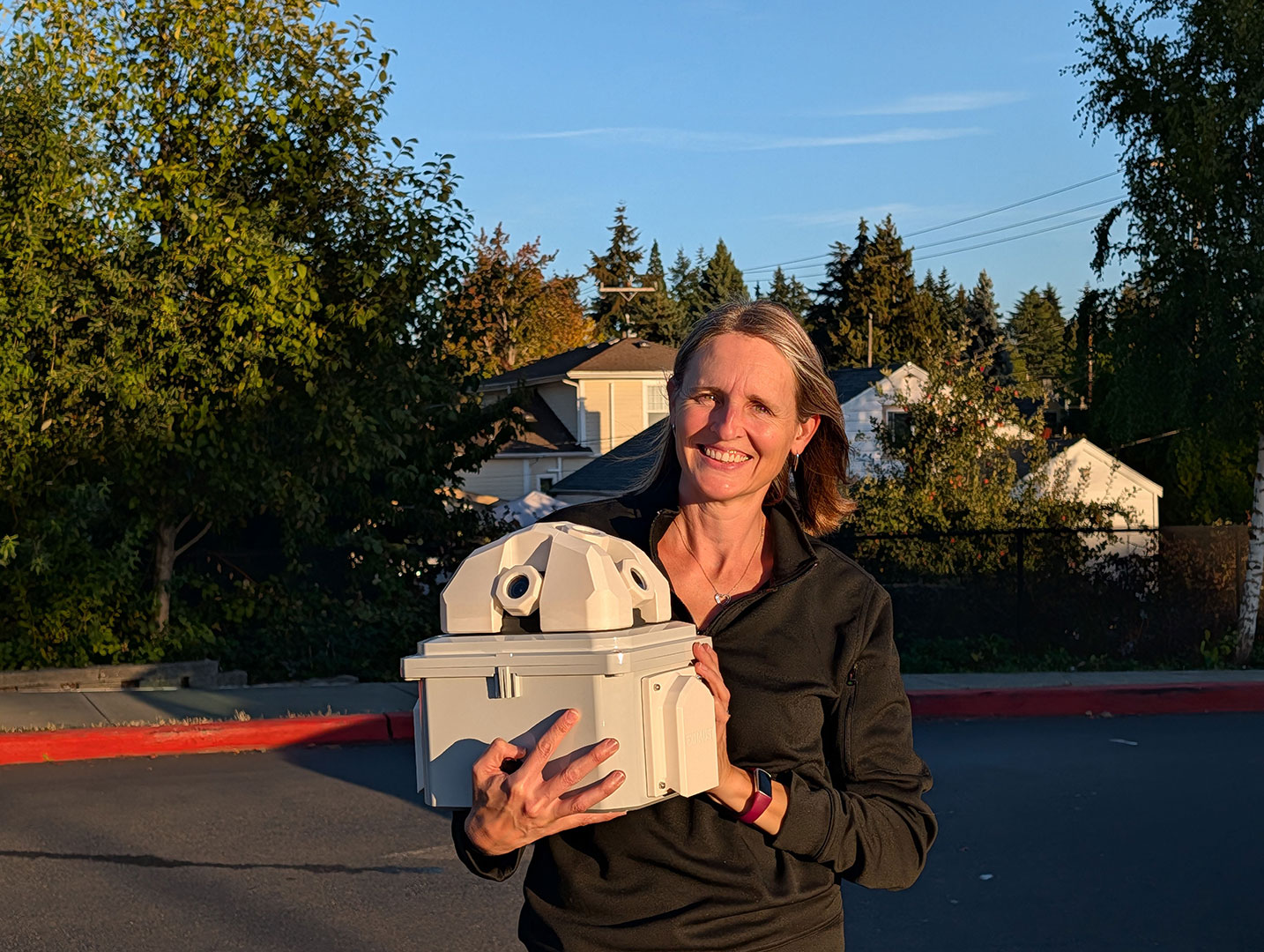
Emily Dallara, Boeing engineer supporting Project Starry Skies, stands with a sky-facing camera used to track contrails. Emily Dallara, Boeing engineer supporting Project Starry Skies, stands with a sky-facing camera used to track contrails. The network of cameras helps improve forecasts that guide more sustainable flight paths and reduce aviation’s climate impact.

That’s where Project Starry Skies comes in. A network of ground cameras records when and where contrails form. These cameras offer an unexpected but powerful source of data for contrail research.

"The idea sparked at a contrail workshop two years ago," Dallara said. A discussion about a roof-mounted meteor detection camera led to the realization that similar cameras could be used to spot contrails at night.

The technology works by capturing videos of the sky, then using a mix of human review and artificial intelligence to detect contrails across thousands of images. Engineers match these observations with flight tracking data to figure out which planes made which contrails. The assessment helps improve forecasts of the humidity where aircraft fly, which is the key factor in determining whether contrails will form and persist. Currently, predictions of these conditions are broad and lack the accuracy needed for detailed altitude guidance.

Project Starry Skies involves deep collaboration between Boeing and university partners, through which both groups are learning and innovating together. Boeing teams are working closely with experts from Western University (Canada), which has long-standing experience operating sky-facing camera networks for meteor detection and space situational awareness.

“University partnerships let us tap extensive expertise beyond Boeing’s core technical areas,” Dallara said. “Their collaboration has accelerated our progress and enriched our understanding.”

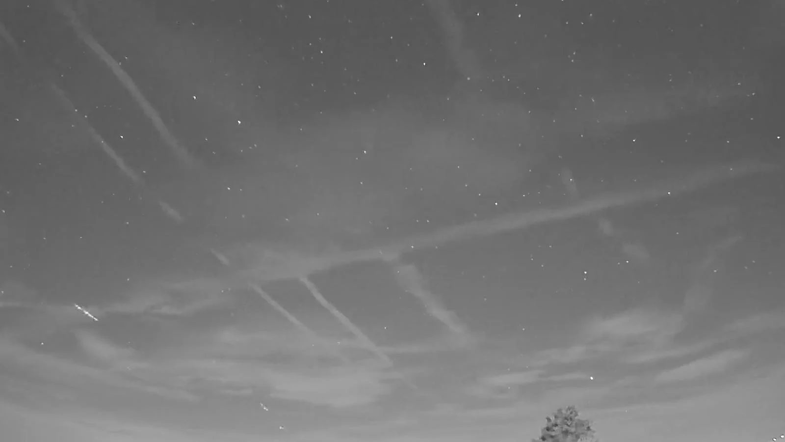
Nighttime contrails captured by a Project Starry Skies ground camera Nighttime contrails captured by a Project Starry Skies ground camera provide data that supports improved forecasting and sustainable flight planning.

Why it matters: Improving forecasting can help airlines reduce the impacts of persistent contrails in sensitive conditions while maintaining flight efficiency. Current weather data falls short in measuring humidity, a key factor in contrail formation. Since aircraft produce contrails only under certain conditions, contrails effectively act as sensors. By combining camera data with weather models, researchers gain a clearer picture of exactly where and why contrails form and persist.

The data from Project Starry Skies may help Boeing teams develop tools that could one day make contrail avoidance a regular part of flight planning.

Dallara's motivation is driven by her role as a mom and by her commitment to sustainability. “I want the airspace we hand off to future generations to be healthier.”

To Dallara, Boeing's role is clear. “We’re stepping up to lead on this challenge with innovation and collaboration. This effort is just one way our company is helping make sustainable air travel possible for years to come.”

Go deeper:

  • The Boeing research team is expanding its camera network and seeking hosts to install cameras in specific U.S. regions: the Pacific Northwest, from the Cascade Mountains to western Montana, and the southeastern U.S., from northern Alabama to the coasts of Georgia and South Carolina. Hosts can install cameras at their homes or on buildings affiliated with universities and schools. There are many ways to get involved. For more information about supporting the camera network, email starryskies@boeing.com.
  • Discover how Boeing is leveraging data to reduce aviation’s emissions and inform technology, policy and investment decisions through the Boeing Cascade Climate Impact Model.
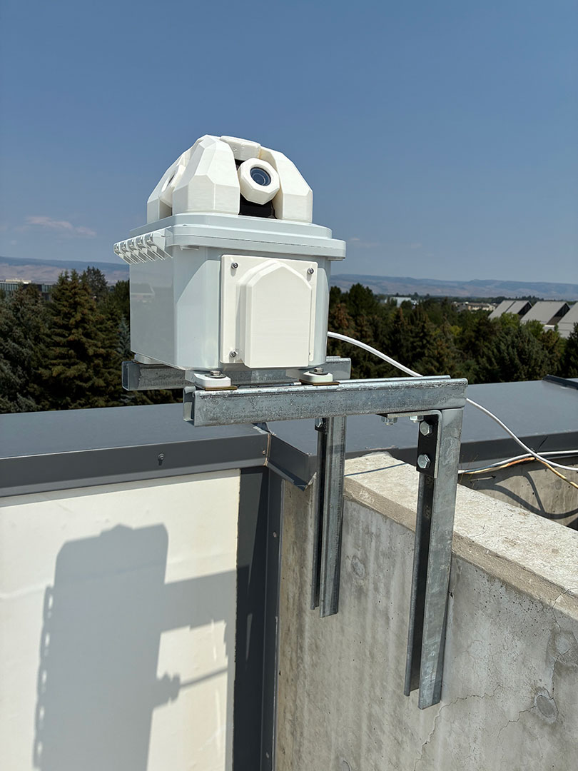
A ground camera captures contrails as part of Project Starry Skies A ground camera captures contrails as part of Project Starry Skies, helping researchers match contrails with flight information.